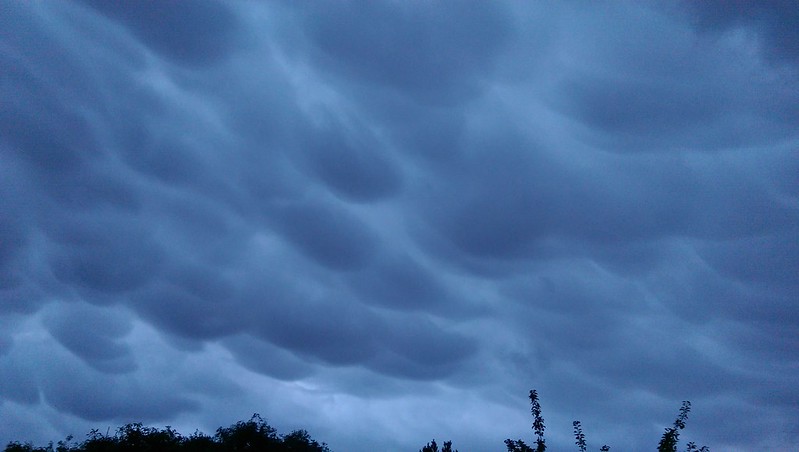
I spotted some unusual clouds over the house the other day!
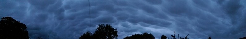
Panorama shot of mammatus over the house
I have always enjoyed identifying clouds and if I can take pictures of any unusual formations. This type, Mammamtus, is pretty rare in these parts; I can count on one hand the number of times I have seen Mammatus clouds.
According to the World Meteorological Organization's (WMO) International Cloud Atlas, Mammatus is not a type of cloud, but a supplementary feature
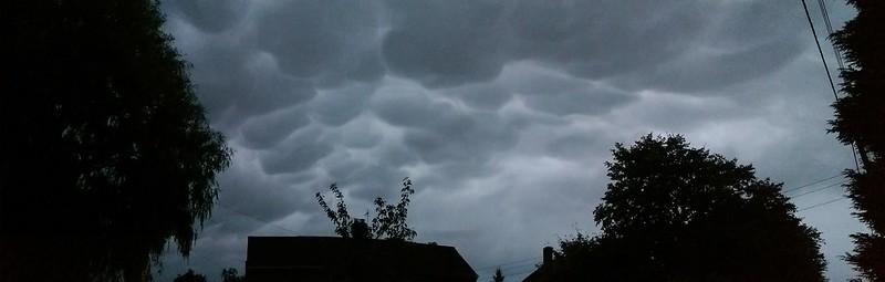
Mammatus II
The Wikipedia article states that "they often extend from the base of a cumulonimbus, but may also be found under altocumulus, altostratus, stratocumulus, and cirrus clouds".
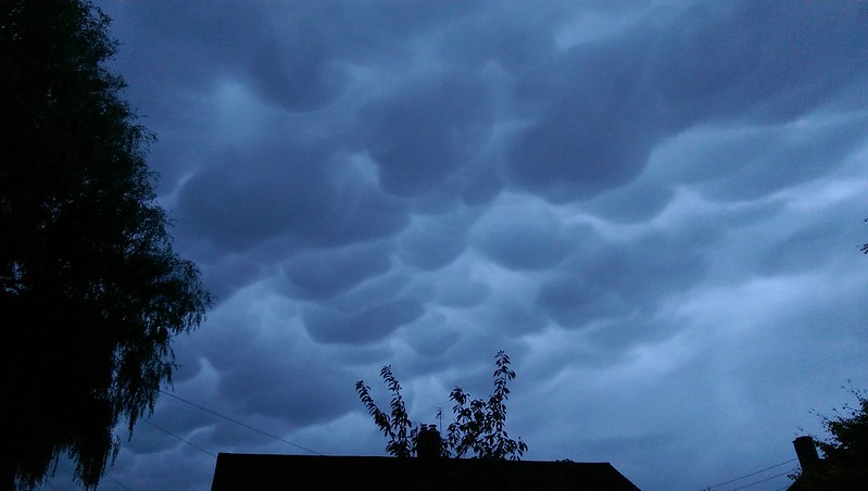
Mammatus III
These clouds formations were seen around eight hours before a severe drop in pressure brought the first named storm of the season, Aileen.
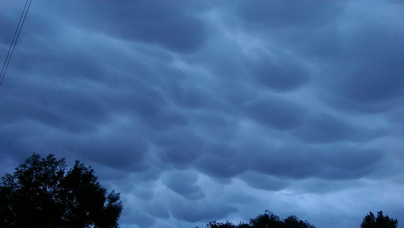
Mammatus IV
Looking at my weather data, the cloud base was around 625 metres above sea level and air pressure was falling steadily. There was almost no wind at ground level and the freezing altitude was around 2,300 metres, that is the estimated altitude at which the air temperature is at 0°.
Mammatus V
The reasons for this type of cloud formation occurring are ill understood. There seem to be a few theories but nothing yet conclusive.
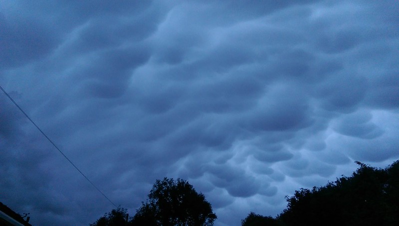
Mammatus VI
Certainly not the most uniform of Mammatus formations ever; there are some lovely examples out there that are far better than these. Nevertheless, the formation was only visible for around 25 minutes, so I was quite pleased to have looked out of the kitchen window just at the right time to have seen and photographed them.
Comments
comments powered by Disqus